The Old Hida Trail connecting Kiso and Takayama appears in documents in the 7th century already. Most of the old trail has been abandoned or disappeared since the construction of roadway 361, but we can still find the bits and pieces of the old route. This article introduces two such old trails, one for the Jizo Pass and another for Nishino Pass.
木曽地方と飛騨高山を結ぶ旧飛騨街道は、七世紀にはすでに文献に現れている。古代から人々が行き交う重要な街道だった。しかし昭和になって国道361号が整備されると旧街道は次第に使われなくなり、破壊されあるいは自然消滅してしまった。それでも古道がそのまま残っている箇所もいくつかある。この記事では、そうした古道の中でも、地蔵峠と西野峠の2ルートを紹介しよう。
Bus stop named “Doai” on the way to Kaida area. Start walking here.
「渡合(どあい)」のバス停。ここから地蔵峠に向けて歩き始める。
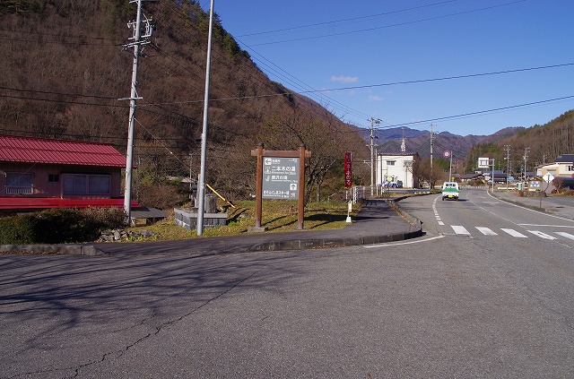
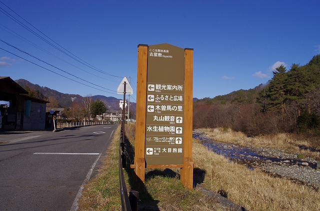
Informatory sign at the above intersection.
上の写真の交差点にある案内標識。地蔵峠、二本木の湯。
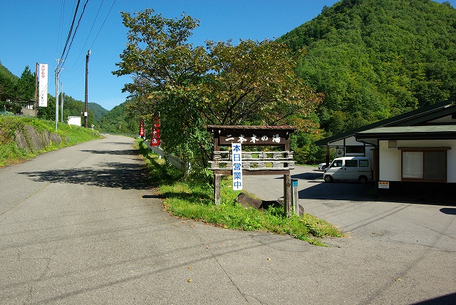
Public hot spa “Nihonginoyu.”
二本木の湯。
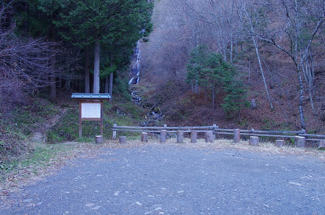
Parking lot of Karasawanotaki waterfall.
唐沢の滝。4~5台は駐車できる広さ。
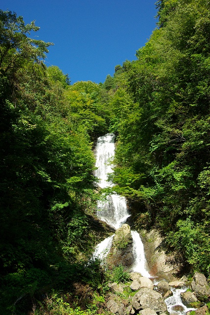
Karasawanotaki Waterfall. This is how it looks in spring.
唐沢の滝。この写真は今年の春に撮影したもの。
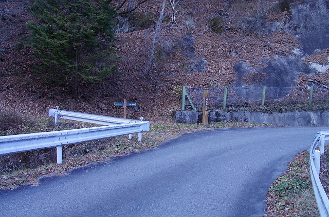
Intersection at the water fall.
川を越えるとすぐに分岐がある。
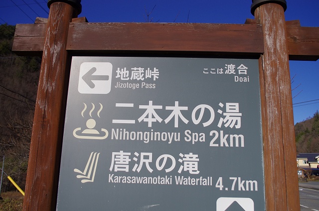
Signpost-1 on the map below. It is written: Old Hida Highway
分岐にある旧飛騨街道(Old Hida Highway)の道標。これが目印。
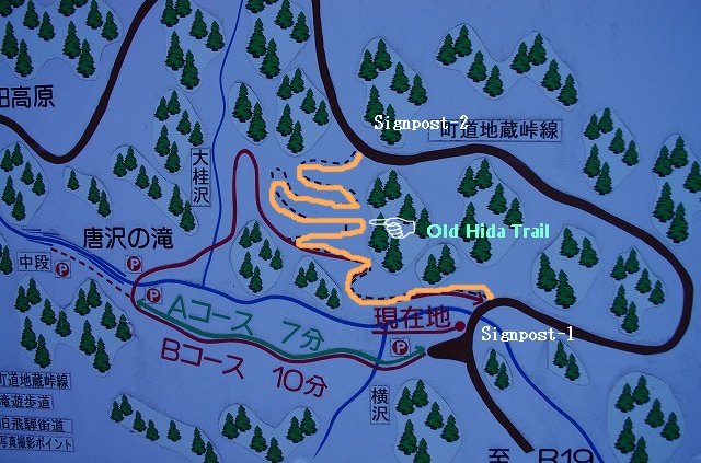
The trail of Old Hida Highway was the route going up strait on the right hand side of the waterfall (showen with orange coloured line).
案内図。滝のすぐ下を通るコース、滝を左に見ながら直登するコース、遠回りに車道を通るコースの三つがある。図にオレンジ色で示したのが旧飛騨街道の通ったルート。
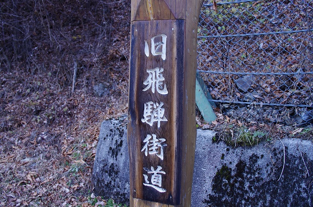
The signpost of Old Hida Highway (Signpost-2)
旧飛騨街道の道標。街道のあちこちに設けられている。

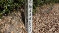
The Jizo statue standing at Jizotoge pass. What a nice smile!
地蔵峠のお地蔵さん。盗難にあって新しく再建されたものだが、笑顔が可愛い。
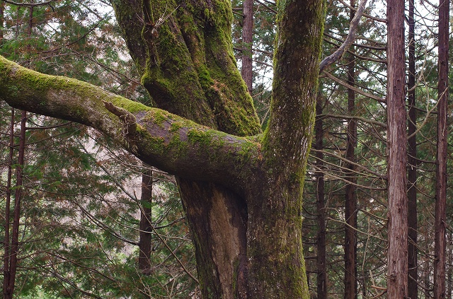
Maple and Taranoki (Japanese angelica tree) are joined togethr at the middle.
幹の途中で合体しているタラノキとカエデ。
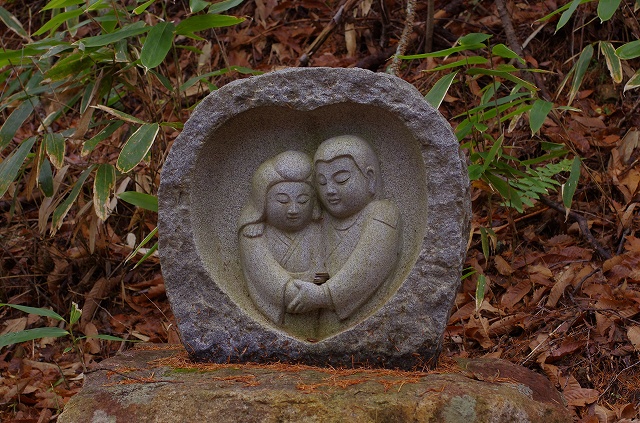
Matchmaking statue.
縁結びの石像。
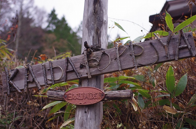
As you go down from the pass, POPPOYA coffee shop is the first house you see.
ぽっぽや。峠から下ってくるときに最初に出会うコーヒーショップ。
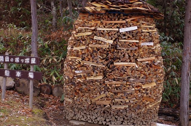
Firewood is stored using Switzerland method.
薪がスイス方式で積んである。

末川集落から橋を渡って古屋敷へ。
この看板を左折すると観光案内所やアイスクリーム工房のある「ふるさと広場」へ向かう。
「木曽馬の里入口」のバス停。開田支所方面へのバス乗り場は道路の向かい側。
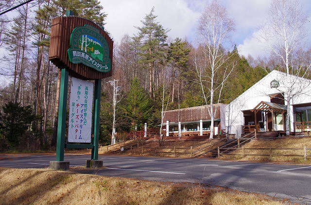
アイスクリーム工房。開田で搾乳された牛乳を使ったアイスクリームやヨーグルトが人気。
ここからは 3.5km の車道。歩いても良いが、バスに乗れば数分で開田支所へ。アイスを食べながら休憩して、また元気に歩き始めるというのが外国人ウォーカーたちの定番だ。
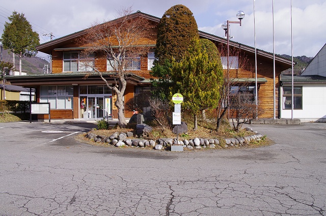
バス停「開田支所(開田支所)」。木曽町への合併前は、ここが旧開田村の村役場だった。ここでバスを降りて、旧飛騨街道を西野峠方面へ歩き始める。
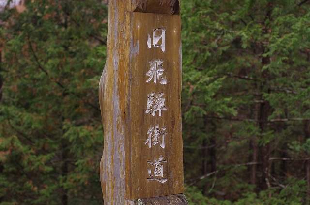
This is the guide post to direct you to Hida Trail. You need to get a guide map.
分かりにくいが、これが飛騨街道の標識。いずれにしても案内所でマップを入手する必要あり。
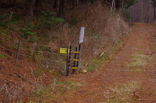
Electric gate to stop animals to go into the farmland.
飛騨街道の入口近くには動物用の電気柵が設けられている。外して通過する。
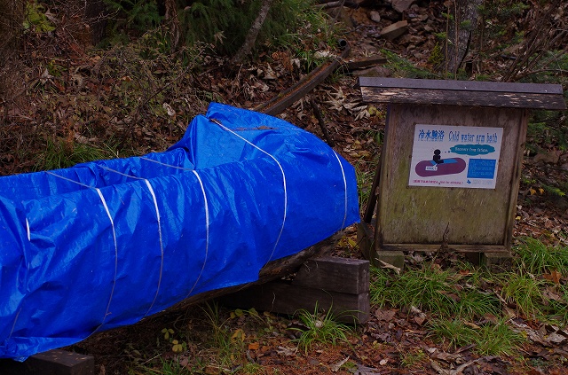
Instruction board says: “Cold Water Arm Bath.” Meant be used for recovering from fatigue.
疲労回復用の「腕冷やし」水槽。暑い日には気持ちが良いかも。
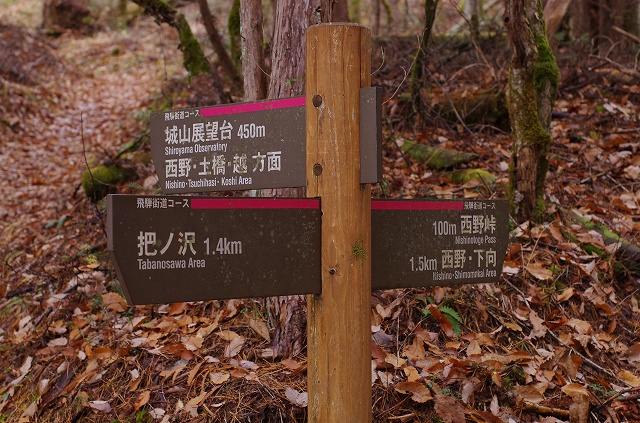
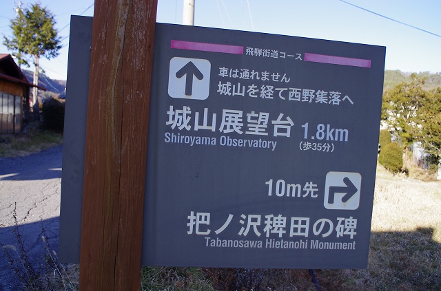
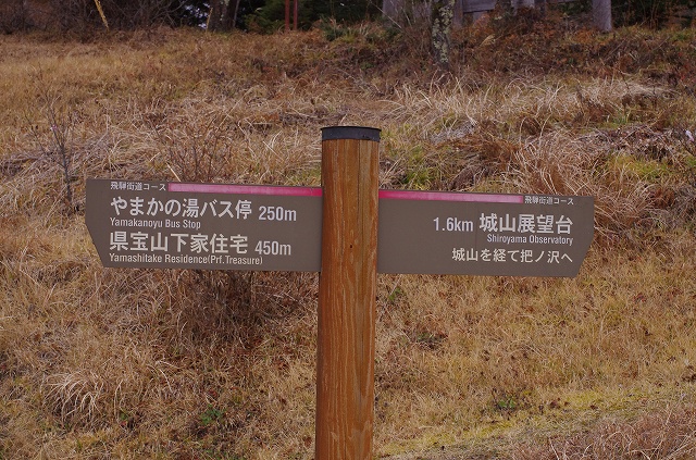
Sign post showing direction towards Shiroyama Lookout. Don’t miss it!
城山展望台への分岐にある道標。最後にちょっときつい登りがあるが絶対に行くべき。
Shiroyama Observatory (Elevation: 1422 m). Nice lookout for viewing Mt Ontake.
標高 1422 m にある城山展望台。御嶽山を間近に見られる絶好のビューポイントだ。
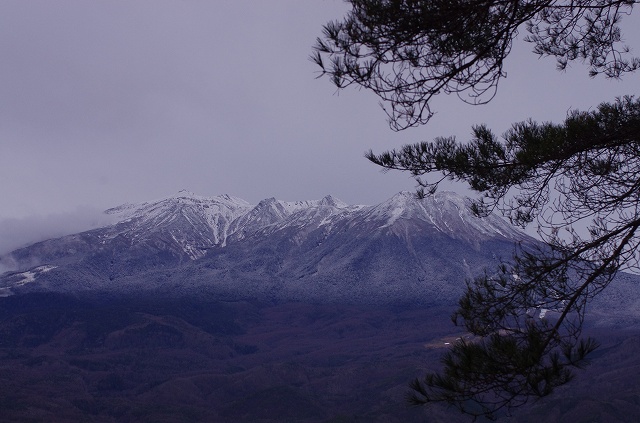
Mt Ontake.
御嶽山。
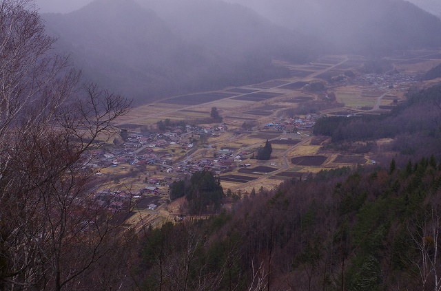
Viewing Nishino area from Nishinotoge pass.
峠から見た西野地区
The starting of trail on Nishino area.
西野地区の登山口にある標識。