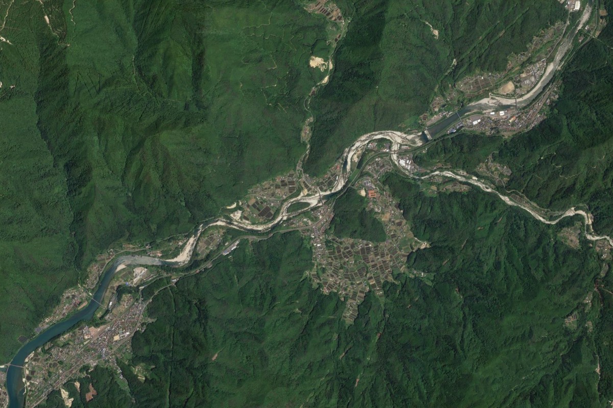
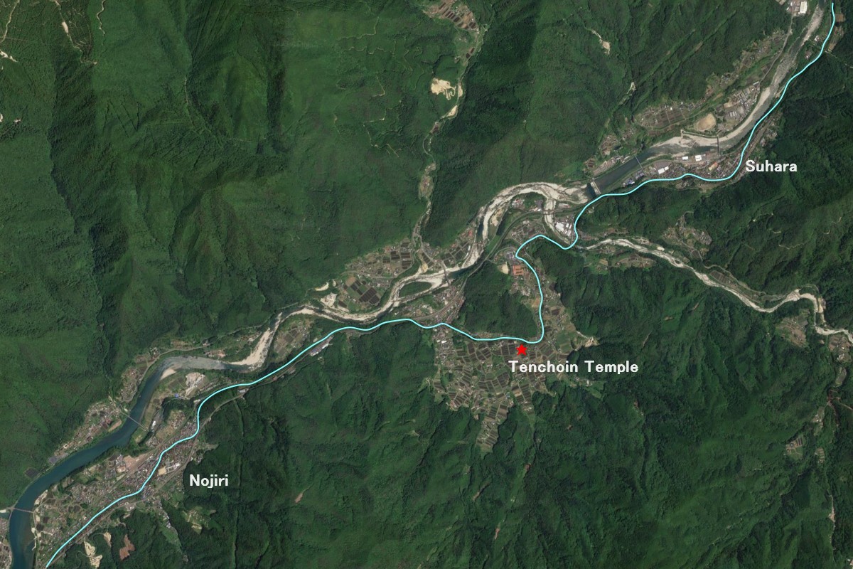
You are looking at the Kiso valley from above. Indicated with a light blue line is the Nakasendo. We go through extraordinarily unique geology as we hike from Nojiri to Suhara post town. The oxbow lake is not an unusual topography in plains, but this is the middle of the Kiso valley! (Click the photo to enlarge it.)
This topography tells us that the area was large plain several millions of years ago. The curved section of Nakasendo near Tenchoin Temple is an area that was once a lake formed by a cut-off bend in the river. The lake dried up about 2 million years ago, and as the Kiso mountains rose and the Kiso river eroded the valley, it lifted to the present elevation.
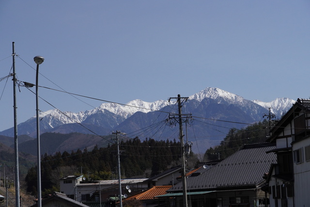
The Kiso Mountains from Nojiri Post Town. The peak at the far left is Mt. Kiso-Komagatake (2956m), the highest peak in the Kiso Mountains.
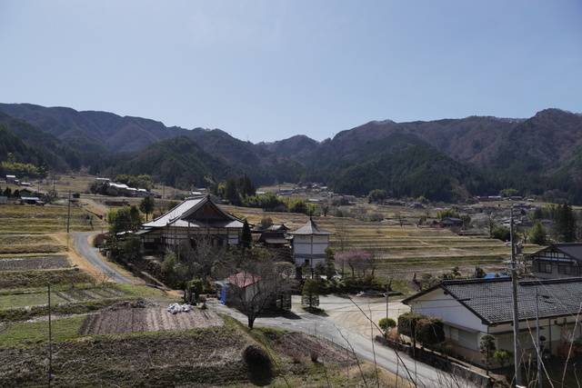
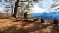
View of the Tenchoin Temple from Nakasendo. I closed my eyes and imagined the Kiso river was flowing from left to right.
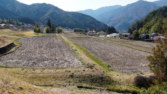
Just looking at a splendid view of terraced rice fields, I could never imagine the cataclysms that occurred one million years ago. I am deeply grateful to Google Earth!
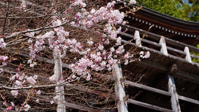
This one-day hike includes three distinguished temples. After the Tenchoin, we visit Iwade-Kannon Temple. It looks very much like the famous “Kiyomizu-dera temple” in Kyoto.
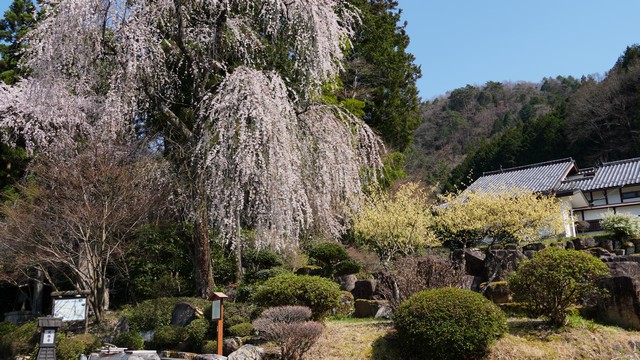
Joshoji Temple in Suhara is said to be the oldest temple in the Kiso Valley.